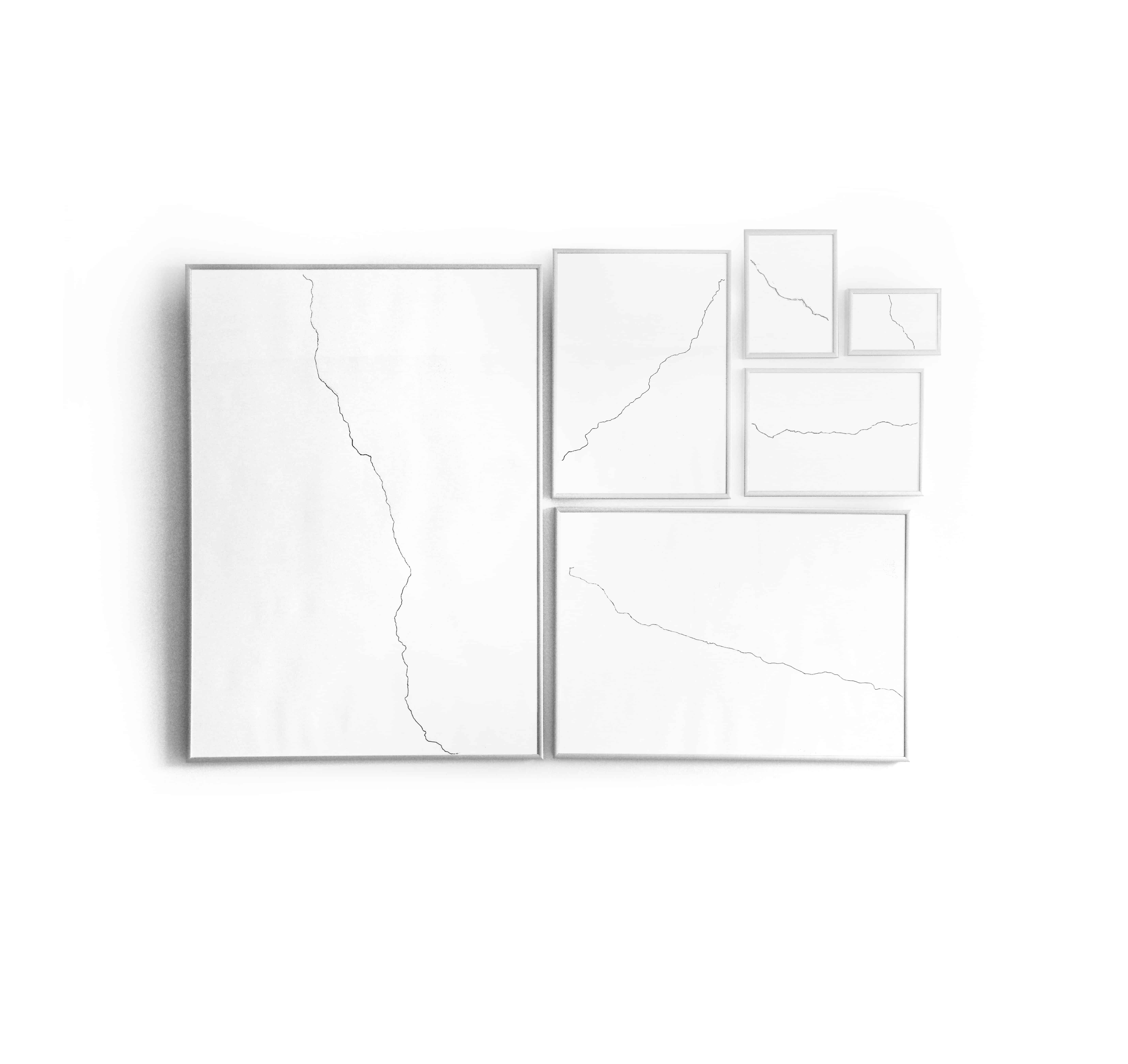
Map and Territory
Drawings of British A roads made on ISO pages of the same name: A1, A2, A3, A4, A5 and A6.
The drawings are simultaneously maps (of the road they depict) and territories (the actual size of the paper page on which the drawing is drawn). They connect two types classification and standardisation, one geographic, the other industrial.